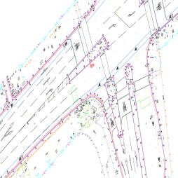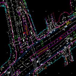
GIS Data Capture
We offer GIS data capture services using Leica Zeno equipment. This enables the collection of attributed vector data with geo-referenced photographs.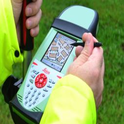
Visit the Sun Hill Surveying and Engineering Ltd website for more information on GIS Data Capture